The University of Nebraska-Lincoln Spatial Science Community promotes collaborative and open spatial science in research, teaching, and resources development at the university and beyond. We share a common interest in mapping, analyzing and understanding the spatial nature of our world using technology that allows us to visualize what otherwise would go unseen.
With spatial technologies, data and methods, we gain new perspectives and insights into complex problems such as food security, climate change, resource allocation, geopolitical boundaries, and population migration. Our science allows us to work toward solutions to these problems, while also accommodating new issues that arise in our rapidly changing world.
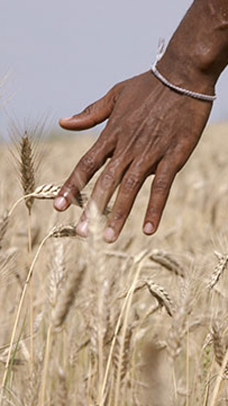
Agriculture
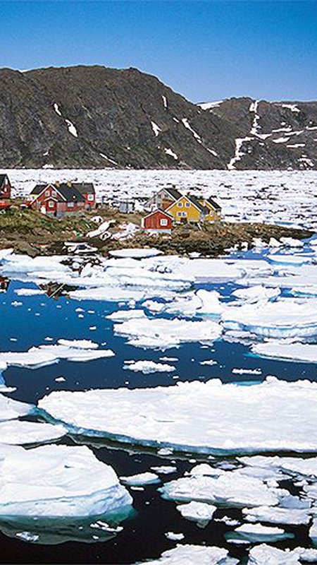
Natural Resources and the Environment
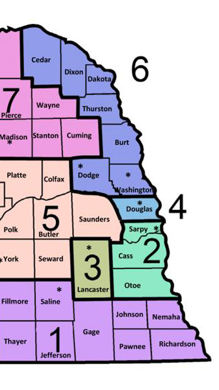
Spatial Analytics
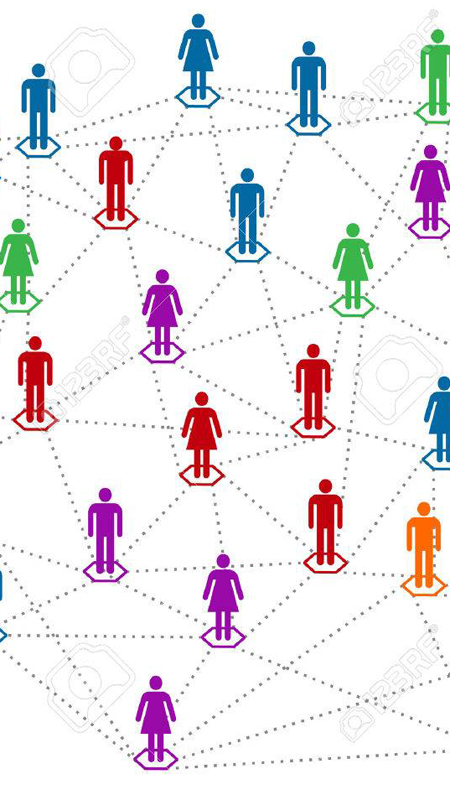
Human Dimensions
Our History
Spatial science at Nebraska dates back to 1909 when the Department of Geography was established on city campus. In 1972, the Nebraska Remote Sensing Center — since renamed the Center for Advanced Land Management Technologies — was formed with the goal to use digital spatial technology in new ways. Today, the University of Nebraska-Lincoln has spatial scientists embedded within more than 15 departments and research units.
2019 Spatial Science Summit
A Spatial Science Teaching Summit was convened May 13, 2019 to engage faculty from across the University of Nebraska-Lincoln to discuss the campus-wide spatial curriculum and credentialing options, as well as identify opportunities and needs to advance the field of spatial science for students and faculty. The Summit was attended by 28 faculty representing 11 academic departments and units including the Dean of the College of Agriculture and School of Natural Resources (CASNR), 3 unit heads and faculty representing 5 IANR centers and institutes.